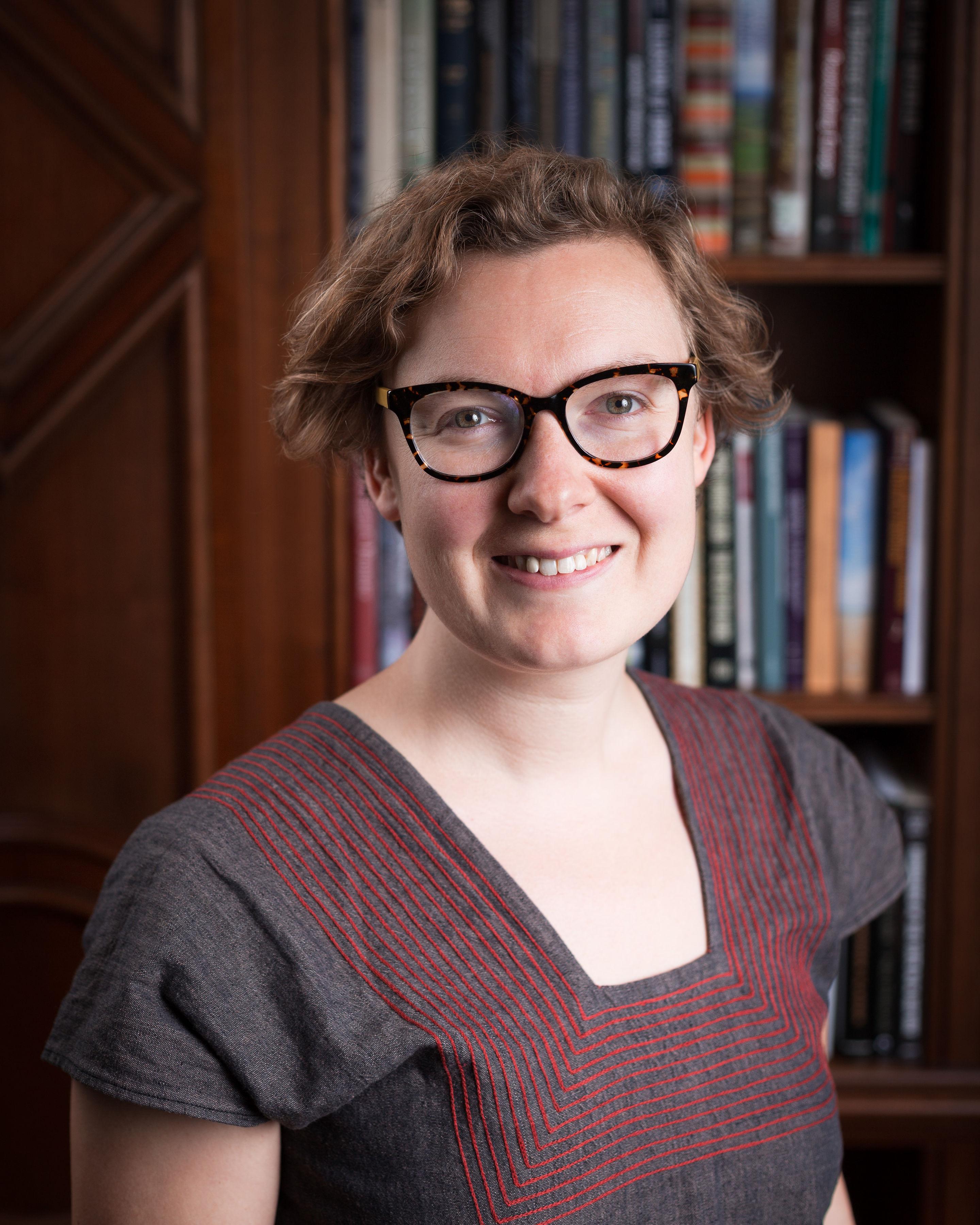
I am a Lecturer in Digital Humanities in the Department of History at Lancaster University and also a Senior Research Fellow at The Alan Turing Institute in London, UK.
I am a historian of eighteenth-century France and a specialist in the spatial digital humanities. My interests lie in the connected histories of ideas, information, and infrastructure. In my digital research, I have focused on developing new methods to examine spatial information in maps, newspapers, and encyclopedias. Between 2019-2023, I was part of the Living with Machines team in London, where I used national-scale collections of maps and newspapers to investigate British history in the long nineteenth century.
My first monograph, Public Work: Making Roads and Citizens in Eighteenth-Century France, explores unsuccessful socio-economic reform related to infrastructure development in pre-Revolutionary France. In an atmosphere of political distrust, famine, declining public health, and growing inequalities between cities and rural areas, how did people manage to build and maintain a vast network of highways? This project connects the history of technology with the political and social history of rural France in the volatile decades before 1789. Focusing on the province of Brittany, I explore how information technologies like maps and budgets were used to justify the forced labor regime of the corvée.
I lead the MapReader project, a software library for analyzing the visual and textual content of historical maps. MapReader makes it possible for historians to ask questions of thousands of maps. It was awarded the American Historical Association’s Roy Rosenzweig Prize for Creativity in Digital History in 2023, and is the only software to have ever been honoured with this prize. MapReader first emerged from Living with Machines, and it also now builds on work completed in the Machines Reading Maps project.
I was the UK PI on Machines Reading Maps, a project that focused on testing state-of-the-art methods for annotating, detecting, recognizing, and analyzing text on maps. MRM was a collaboration with the University of Minnesota, University of Southern California Library and cultural heritage partners at the National Library of Scotland, the Library of Congress, and the British Library. In 2022-3, we extended the project to collaborate with the David Rumsey Historical Map Collection. You can search and view the dataset of 110 million words found on 57,000 maps in the David Rumsey Collection at https://www.davidrumsey.com/.
I continue to work on the legacy of Living with Machines on the new AHRC-funded Data/Culture: Building sustainable communities around Arts and Humanities datasets and tools project, and in particular research applications and community building around MapReader and historical British newspaper datasets.
I completed my PhD in History at Stanford University. Please see my profile at Lancaster for more details.
Contact
k.mcdonough at lancaster.ac.uk
Projects
Data/Culture: Building sustainable communities around Arts and Humanities datasets and tools
Public Work: Making Roads and Citizens in Eighteenth-Century France
Mapping Print, Charting Enlightenment
Selected Publications
K. McDonough, “Maps as Data,” in Debates in DH: Computational Humanities, ed. by J. M. Johnson, D. Mimno, & L. Tilton (University of Minnesota Press, 2024).
G. Tolfo, O. Vane, K. Beelen, K. Hosseini, J. Lawrence, D. Beavan, & K. McDonough, “Hunting for Treasure: Living with. Machines and the British Library Newspaper Collection,” in Digitised Newspapers: A New Eldorado for Historians? ed. by E. Bunout, M. Ehrmann, & F. Clavert (De Gruyter Oldenbourg, 2022).
K. Hosseini, K. Beelen, D. Wilson, & K. McDonough, “MapReader: A Computer Vision Pipeline for the Semantic Exploration of Maps at Scale,” Proceedings for the ACM SIGSPATIAL Geohumanities Workshop (2022).
A. Brenon, L. Moncla, & K. McDonough, “Classifying Encyclopedic Knowledge: Comparing Machine and Deep Learning Methods and Exploring Their Predictions,” Data & Knowledge Engineering 142 (2022).
D. Vigier, K. McDonough, T. Joliveau, L. Moncla, & I. Lefort, « Les articles de géographie dans le Dictionnaire Universel de Trévoux et l’Encyclopédie de Diderot et d’Alembert », Langue française (2022).
M. Coll Ardanuy, K. Beelen, J. Lawrence, K. McDonough, et al, “Station to Station: Linking and enriching historical British railway data,” Computational Humanities Research 2021 (2021).
K. Hosseini, K. McDonough, D. van Strien, O. Vane, & D. Wilson, “Maps of a Nation? Working with Digitised Ordnance Survey Maps as Sources for Historical Research,” Journal of Victorian Culture 26, no. 2 (April 2021), 284-299.
“Putting the Eighteenth Century on the Map: A Proposal for Early Modern French Geospatial Data Development,” in Digitizing Enlightenment, ed. by G. Roe & S. Burrows (Oxford Studies in the Enlightenment/Liverpool University Press, 2020), 277-303.
M. Coll Ardanuy, F. Nanni, K. Beelen, K. Hosseini, R. Ahnert, J. Lawrence, K. McDonough, G. Tolfo, DCS Wilson, & B. McGillivray, “Living Machines: A study of atypical animacy,” COLING2020, The 28th International Conference on Computational Linguistics (2020).
K. McDonough, L. Moncla, & M. van de Camp, “Named Entity Recognition Goes to Old Regime France: Geographic Text Analysis for Early Modern French Corpora,” International Journal of Geographical Information Science 33, no. 12 (May 2019), 2498-2522.
“Un domaine provincial? Les États de Bretagne, le domaine royal et la construction des routes au XVIIIe siècle,” in Le financement des infrastructures de transport, ed. by A. Conchon, D. Plouviez, & E. Szulman (Paris: Comité pour l’histoire économique et financière de la France, 2018), 55-80.
Teaching
At Lancaster I teach early modern and modern French history at the undergraduate level and digital humanities at the postgraduate level. Recent courses include “Spatial Technologies for Humanities Research” and “Digital Texts in the Humanities”.
I also regularly teach workshops on using computational methods in historical research, especially for maps, newspapers, and encyclopedias.
Previously, I have taught survey courses on early modern European history, world history, and the history of science and technology. I have also taught advanced undergraduate seminars on the French Enlightenment and Revolution, nature and empire in the early modern world, French peasants, and the history of maps and mapping.